This is Ian Hoyer with the avalanche forecast for Saturday, March 1st, at 7:00 a.m. sponsored by Bozeman Splitfest, Bridger Bowl and Beartooth Adventures. This forecast does not apply to operating ski areas.
Warm, springlike weather continues today. This morning, temperatures are in the 20s and low 30s F. Winds are 10-20 mph out of the west and northwest with gusts of 20-30 mph.
High temperatures today will be above freezing in most locations, rising into the 30s and 40s F. Skies will be mostly sunny and winds will be light and westerly.
Cooler temperatures return on Monday along with the next chance for snowfall.

Triggering a big Persistent Slab avalanche that breaks on the weak layers that formed in late January is the main concern today. Yesterday in the Lionhead area, Mark and Alex saw two Persistent Slab avalanches that were triggered by snowmobilers during the day (photos, video). One of these slides broke up to 5 ft deep (photo). This is just the latest in a long string of avalanches on these weak layers over the last 10 days, including multiple close calls (Thursday in Cabin Creek, Monday in Cooke, Saturday in Tepee Basin, Saturday in Cooke, Friday in Tepee Basin, Friday in Taylor Fork, Lionhead last Wednesday).
Yesterday’s slides clearly show that these weak layers remain reactive. Stay alert even if you’re not riding up near ridgelines. Many of these slides have broken on mid-elevation slopes sheltered from the wind.
If you want to ride steep slopes today, take the time to do your homework. Dig down below the early February dust layer to look for weak layers and test the snowpack (Mark’s video shows how to do this). Make sure you’re riding one at a time on steep slopes and have a partner watching from a safe spot.
With temperatures a bit warmer this morning and forecasted to rise a bit higher than yesterday, watch out for triggering Wet Loose avalanches on sunny slopes this afternoon.
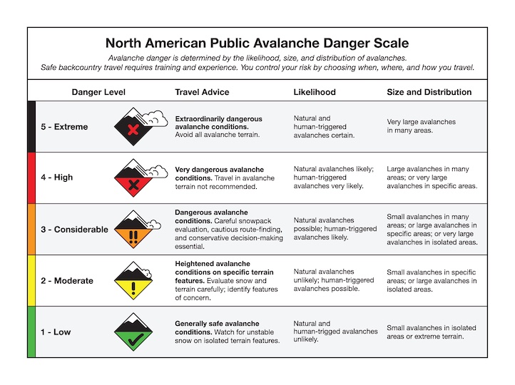
The avalanche danger is MODERATE.
This morning, after a solid overnight refreeze, avalanche conditions are generally safe and you’re unlikely to trigger a slide. The places where you could still trigger a wind slab are becoming fewer and fewer after days of warm temperatures.
As the day warms up and the snow surface starts to melt, Wet Loose avalanches will become a concern. With temperatures starting around freezing and forecast to rise 5 degrees warmer than yesterday (and maybe be the warmest so far this season) these could be a real problem today that deserve respect and consideration.
Wet Loose slides could start beneath your feet or sled, or as start as natural point releases, especially where there are exposed rocks above steep slopes. Look out for wet snow at low elevations and on sunny slopes, especially later in the afternoon when slopes have been baking in the sun all day (Portal Creek road photo). Be heads up if there are more than a couple inches of wet snow at the surface.
The potential for cornices breaking off is also worth considering before travelling above or below them (Hyalite observation).
The avalanche danger is LOW first thing this morning and will quickly rise to MODERATE as the day heats up.
Upcoming Avalanche Education and Events
Our education calendar is full of awareness lectures and field courses. Check it out: Events and Education Calendar
This Weekend: February 28 - March 2, Bozeman Splitfest 2025 - Celebrate all things Bozeman backcountry and raise funds for GNFAC. Enjoy live music, demos, clinics, free food and beer from MAP. Connect with fellow outdoor enthusiasts and soak up the winter stoke.
Every weekend in Cooke City: Friday at The Antlers at 7 p.m., Free Avalanche Awareness and Current Conditions talk, and Saturday from 10 a.m.-2 p.m. at Round Lake Warming Hut, Free Rescue Practice.